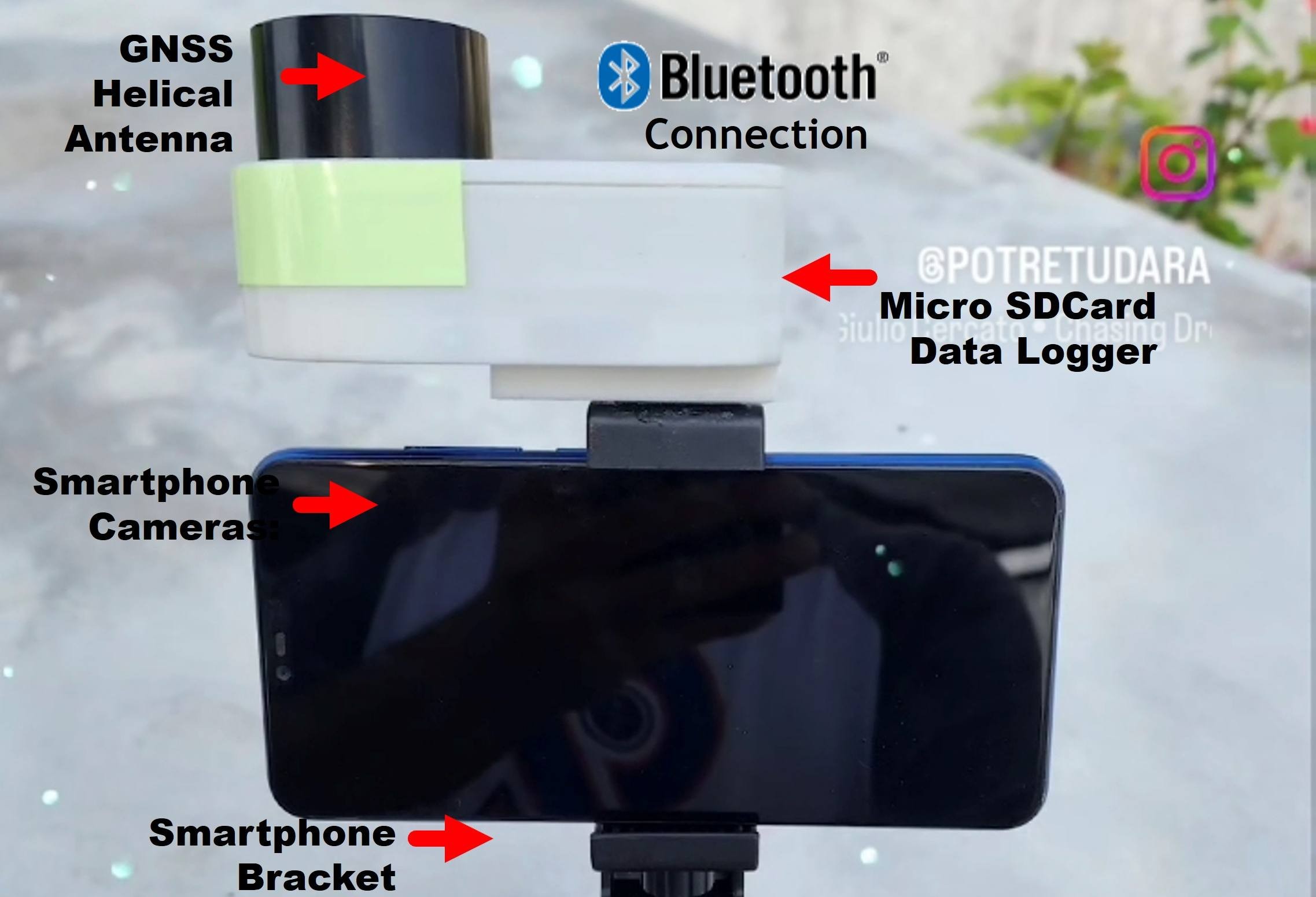
integration GNSS and Smartphone camera
GNSS with Smartphone Camera Integration. GeoPen Smartphone is equipped with an RTK NTRIP GNSS Receiver system to derive precise positioning up to...
Read More
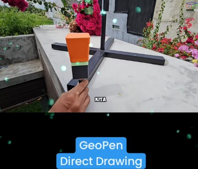
GPS TILT measurement Without IMU
Gps Tilt measurement by 3D space resection @potretudarawith apps@apglos Convert Smartphone to#gpssurvey Available at...
Read More
Some Enhancement of Aerial and Terrestrial Photo for 3D Modeling of Texture-Less Object Surface
Today, the combination of Aerial and Terrestrial photos has been more implemented for 3D modelling purposes. This 3D modelling technique...
Read More
Lidar SLAM
SLAM Concept The full name of SLAM is Simultaneous Localization And Mapping, which is simultaneous localization and map construction. It was first...
Read More
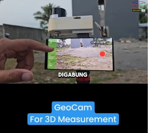
Improvement of Action Camera for Handheld Mobile Mapping System
Cek this video https://www.instagram.com/p/DBm5mL9BxHB/ In general, the Mobile Mapping System (MMS) has been built by...
Read More