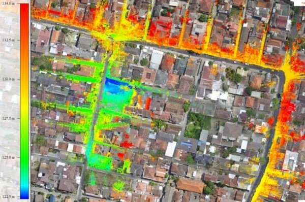
Mobile Mapping
The mobile mapping survey services are meet the need to provide geoinformation along infrastructure corridor. The basic products are object dimensioning; street view image; and 3D object coordinate. The technology are fit for many application such as:
-As-Built Infrastructure survey
-Road survey
-Street view information
-Virtual Tour
-3D façade or street modeling
 ORDER VIA BUKALAPAK
 ORDER VIA TOKOPEDIA