GPS for 2 in 1 with software
- Mobile GIS
- precise geotagging
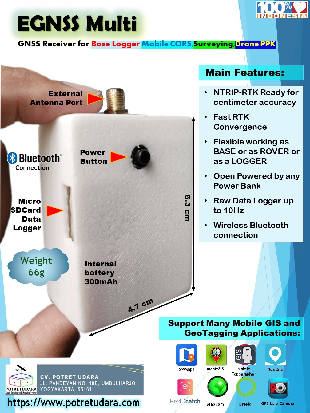
Main Features:
- Up to 10Hz Data rate
- Ready for centimeter accuracy
- Working as BASE or ROVER
- Open Powered by any PowerBank
- Raw Data Logger for Post Processing
- BEIDOU: B1I, B2I, B3I, B1C, B2a, B2b1
- GPS: L1 C/A, L1C1, L2P (Y), L2C, L5
- GLONASS: L1, L2
- GALILEO: E1, E5a, E5b
- QZSS: L1, L2, L5
https://www.instagram.com/p/CoLv0OTPBi5/
Related Products
GPS geodetic GeoPen HEXA with APGLOS for Mobile GIS
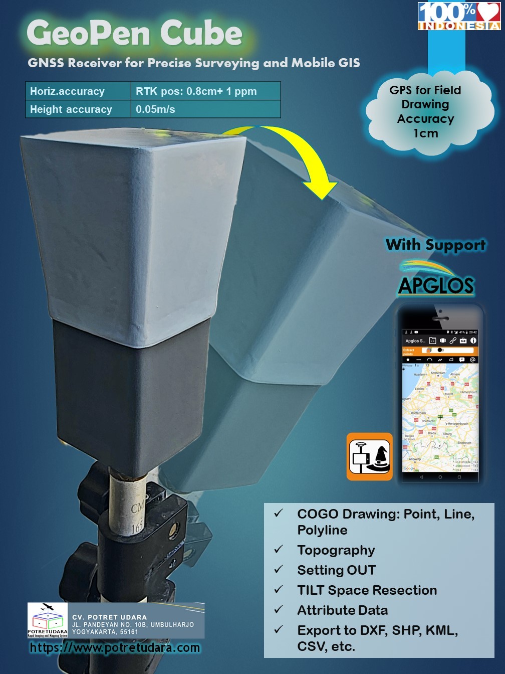
Multi-Purposes GPS for GIS GeoPEN
complete witg APGLOS program for TILT computation
APGLOS is surveying software for Android that change your smartphone to become a precise Data Collector
SUPPORT SURVEY MODE:
- Static Relative Post Processing for Ground Control Point ? accuracy less than 1cm
- NTRIP Realtime Kinematic with CORS Station ? accuracy less than 5cm
- PPP Online with IGS Network ? accuracy less than 15cm
- PPK (Post Processing Kinematic) ? accuracy less than 5cm
- RTK with Radio ? accuracy less than 5cm
Main Features:
- NTRIP-RTK Ready for centimeter accuracy
- Working as BASE or ROVER
- Open Powered by any PowerBank
- Raw Data Logger for Post Processing
- Wireless Bluetooth connection
- USB Port for PC connection
- Radio Port for RTK Radio connection
https://www.instagram.com/reel/CkR6QxjOHkM/?utm_source=ig_web_copy_link
https://www.instagram.com/potretudara/
https://www.instagram.com/p/CkULlC0ymtS/
https://www.instagram.com/p/CkVE3gCIqmI/